Ten places in A Coruña, from Cuartel de Atocha to the school in Cidade Vella. Field photographs from 2026 sit alongside selected historical views from Google Earth. They record visible arrangements of paving, roads, planting and buildings.
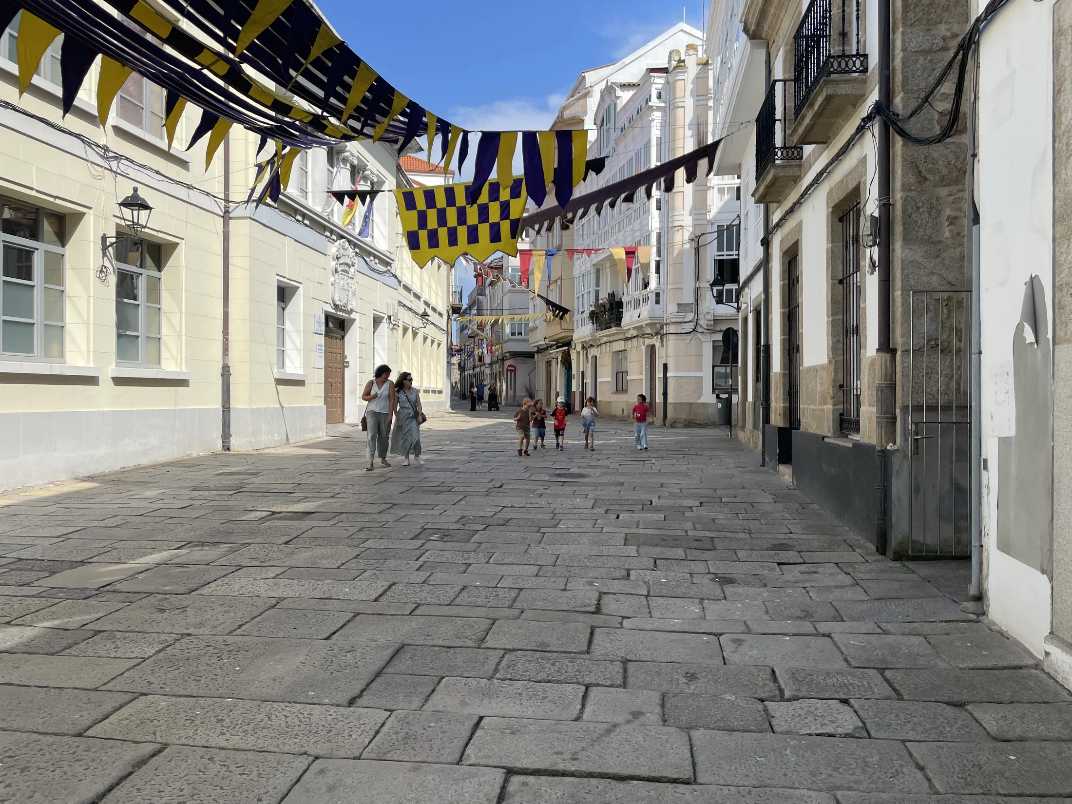
A city street is part of daily life, not just a route for traffic. Pedestrianization makes room for people to walk, meet, cycle and reach local places with less competition from moving and parked cars. In several of these places, road space and parking have given way to wider walking areas, planting, and seating. I think that shift is worth celebrating.
A Coruña’s Sustainable Urban Mobility Plan (PMUS) sets out pedestrian routes, accessibility and safe school journeys as municipal goals. These photographs show selected places and invite a closer look.
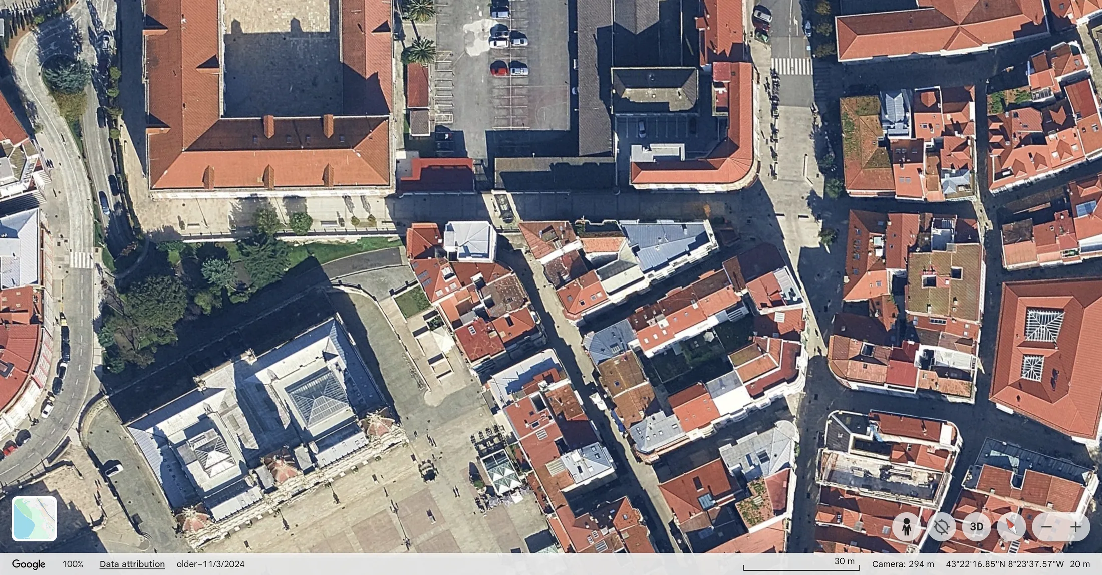
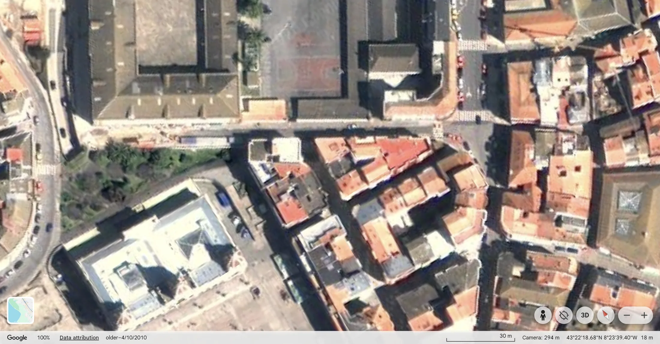
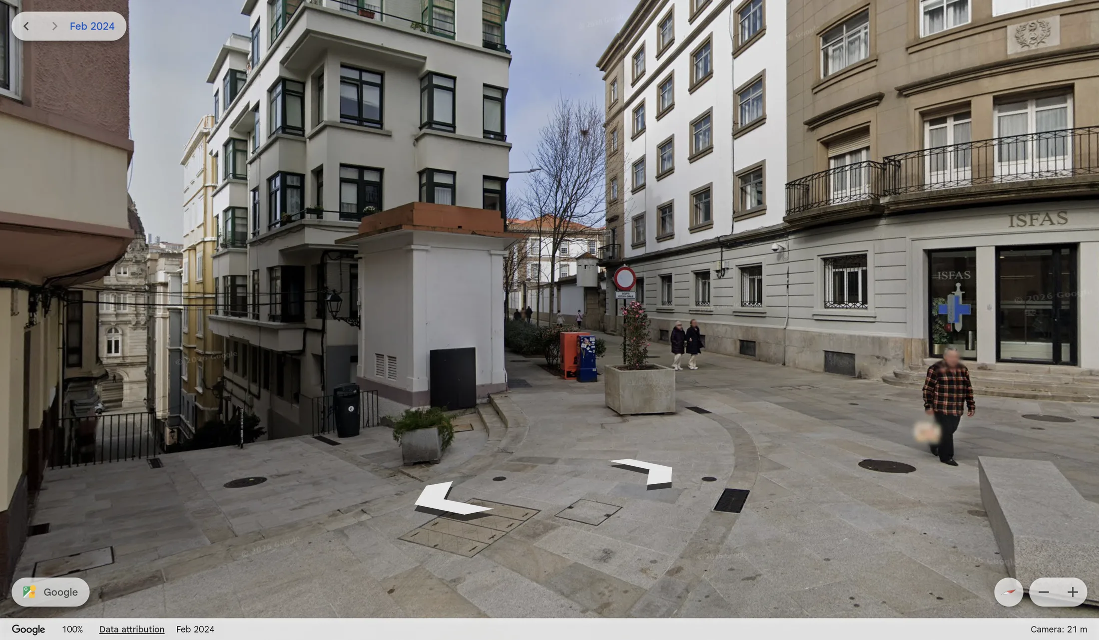
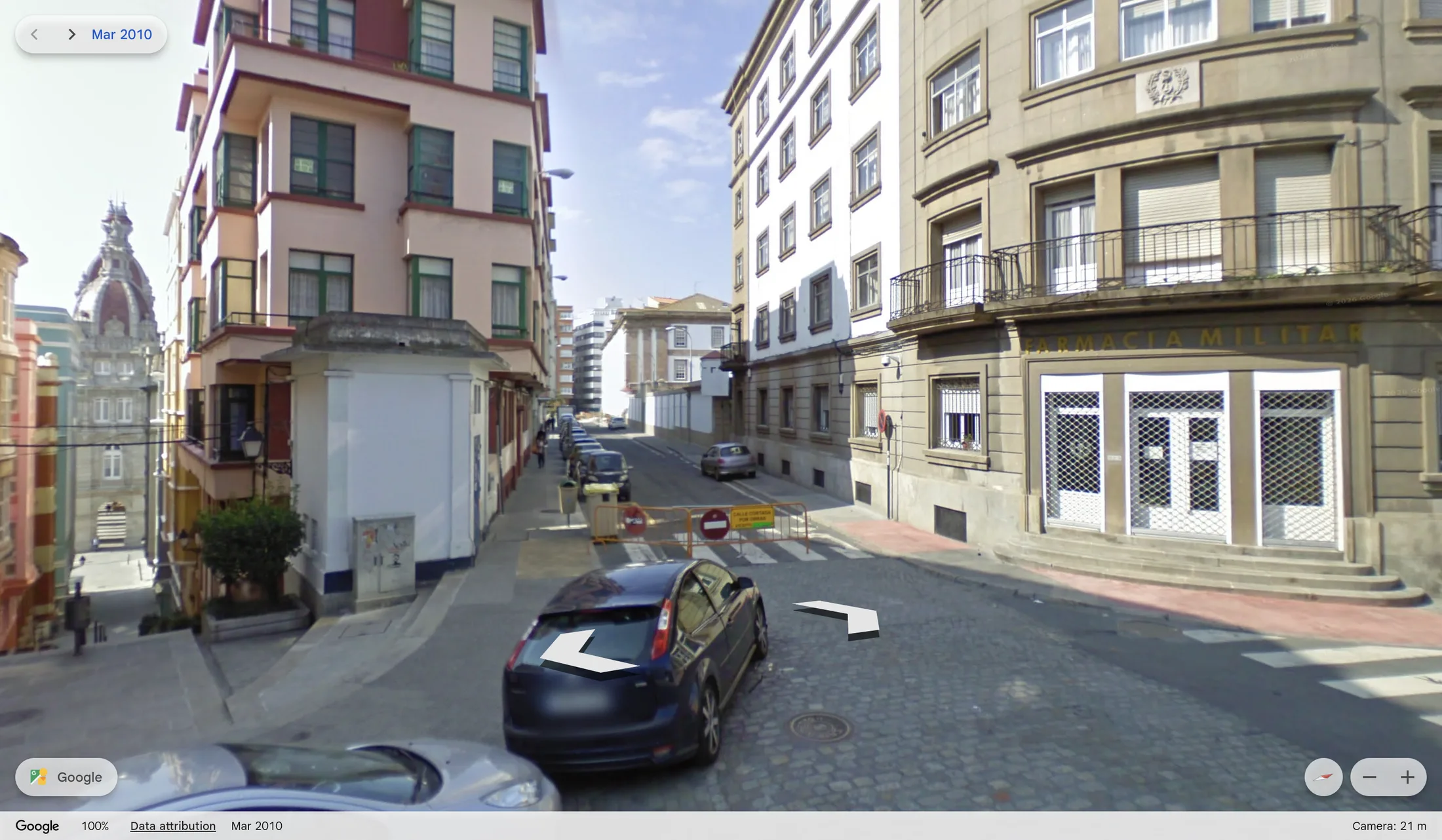
Cuartel de Atocha
Aerial view, 2010–2024
Street level, 2010–2024
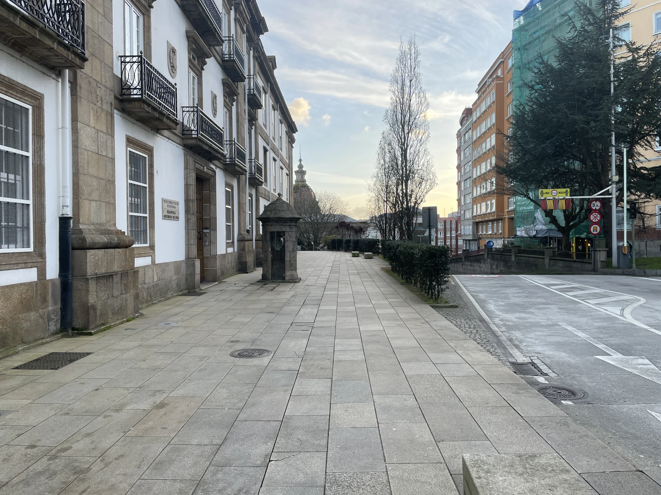
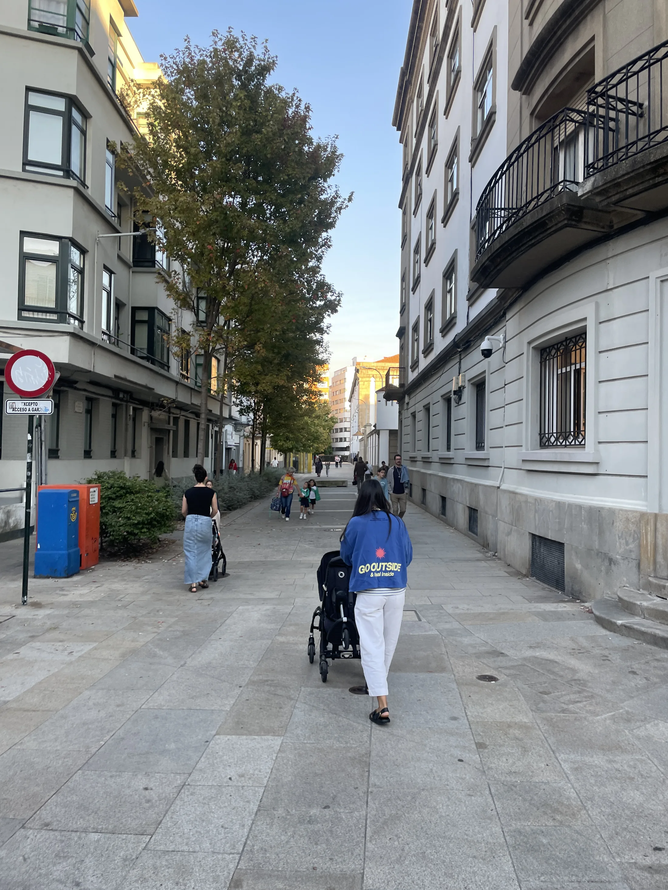
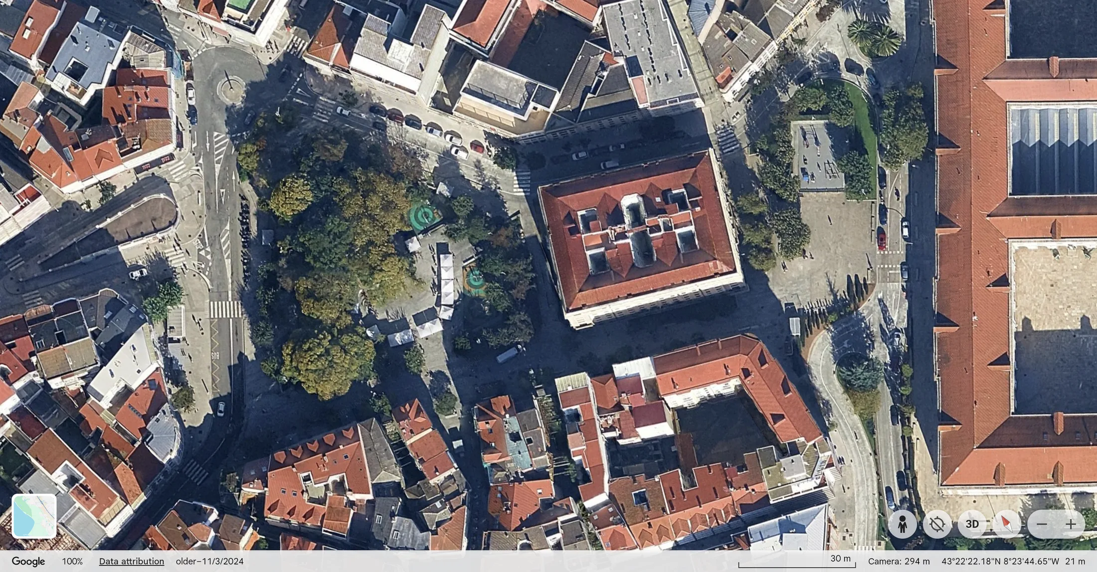
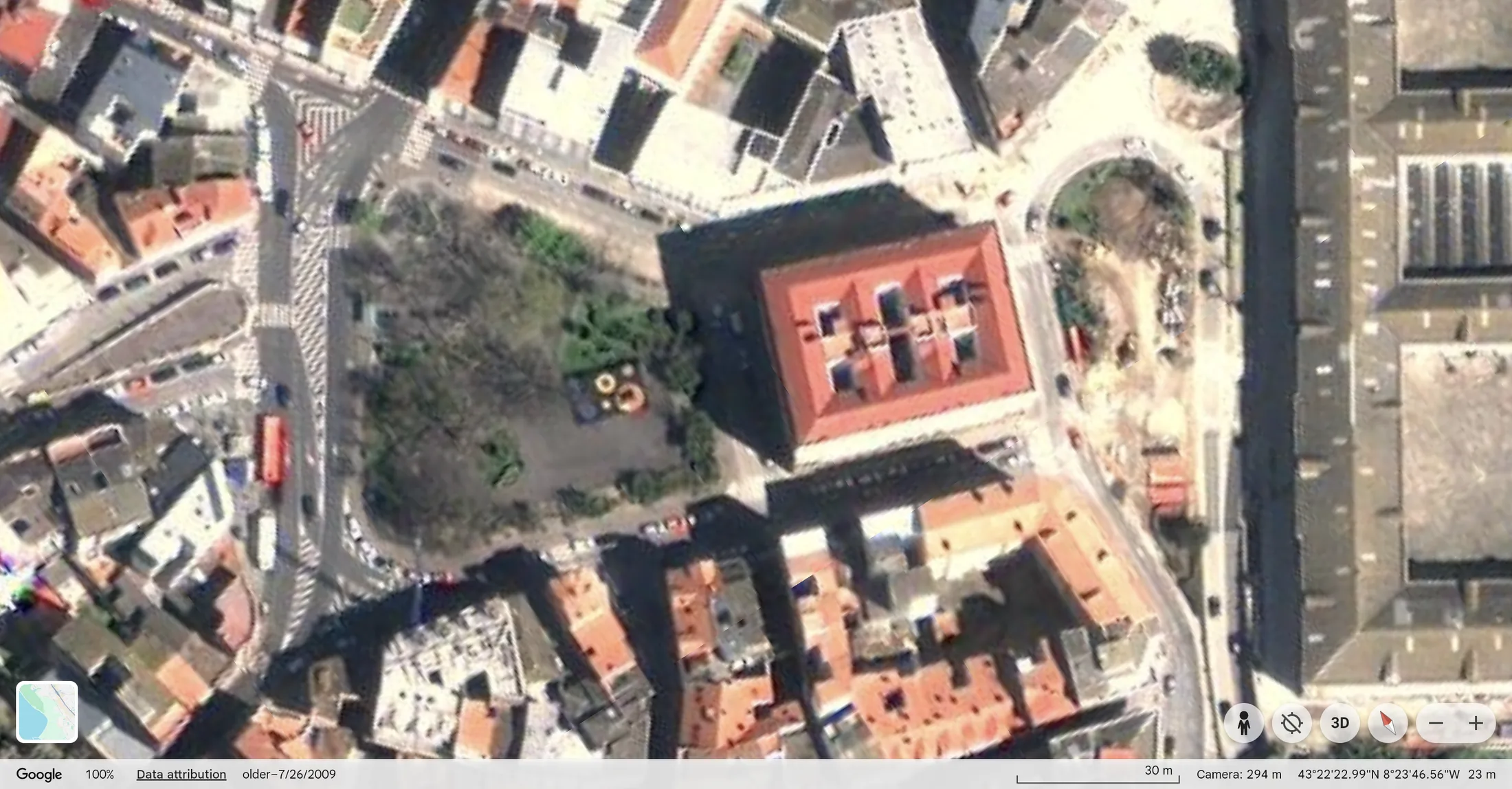
Praza de España / Campo da Leña
Aerial view, 2010–2024
Street level, 2008–2019
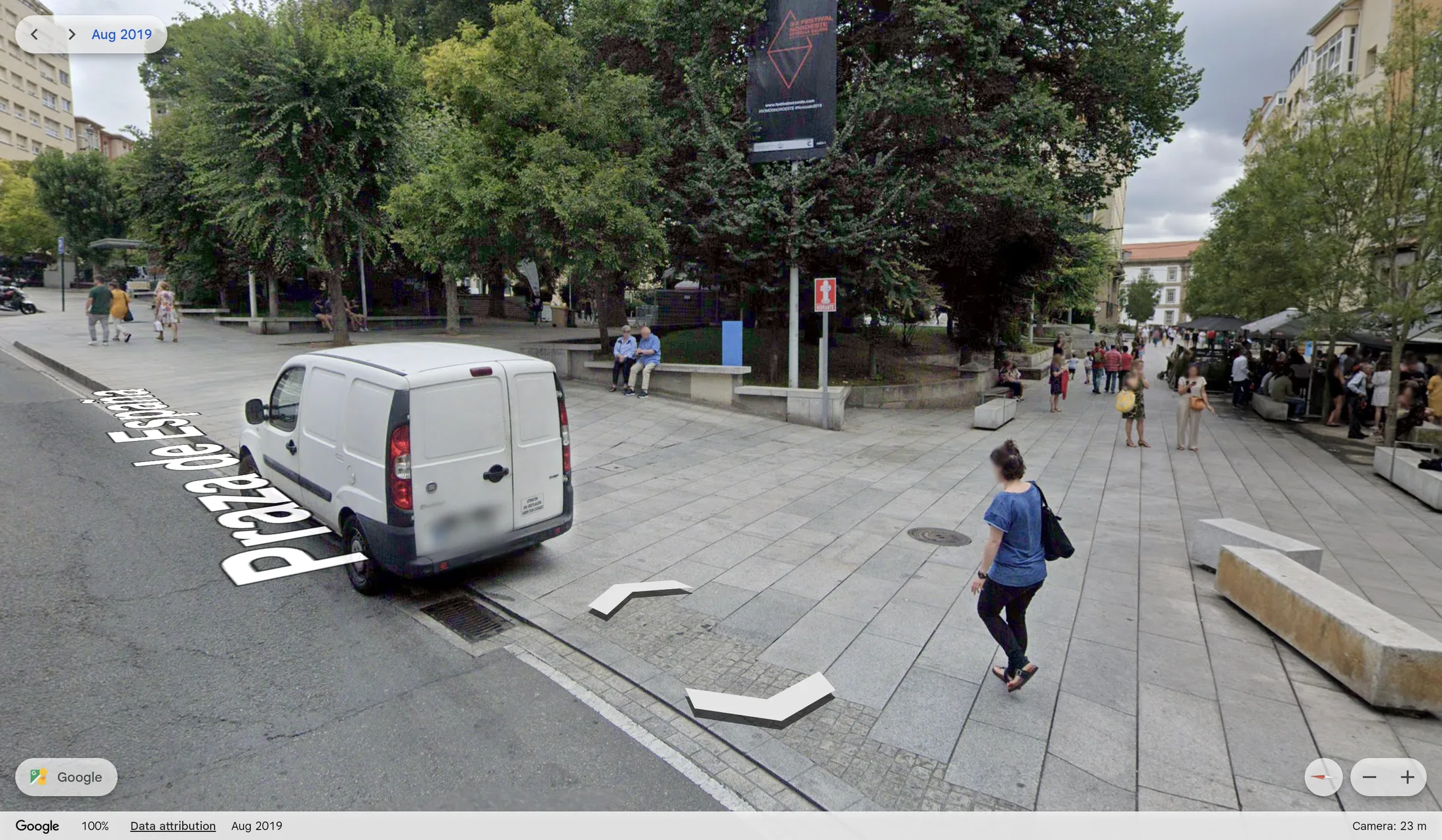
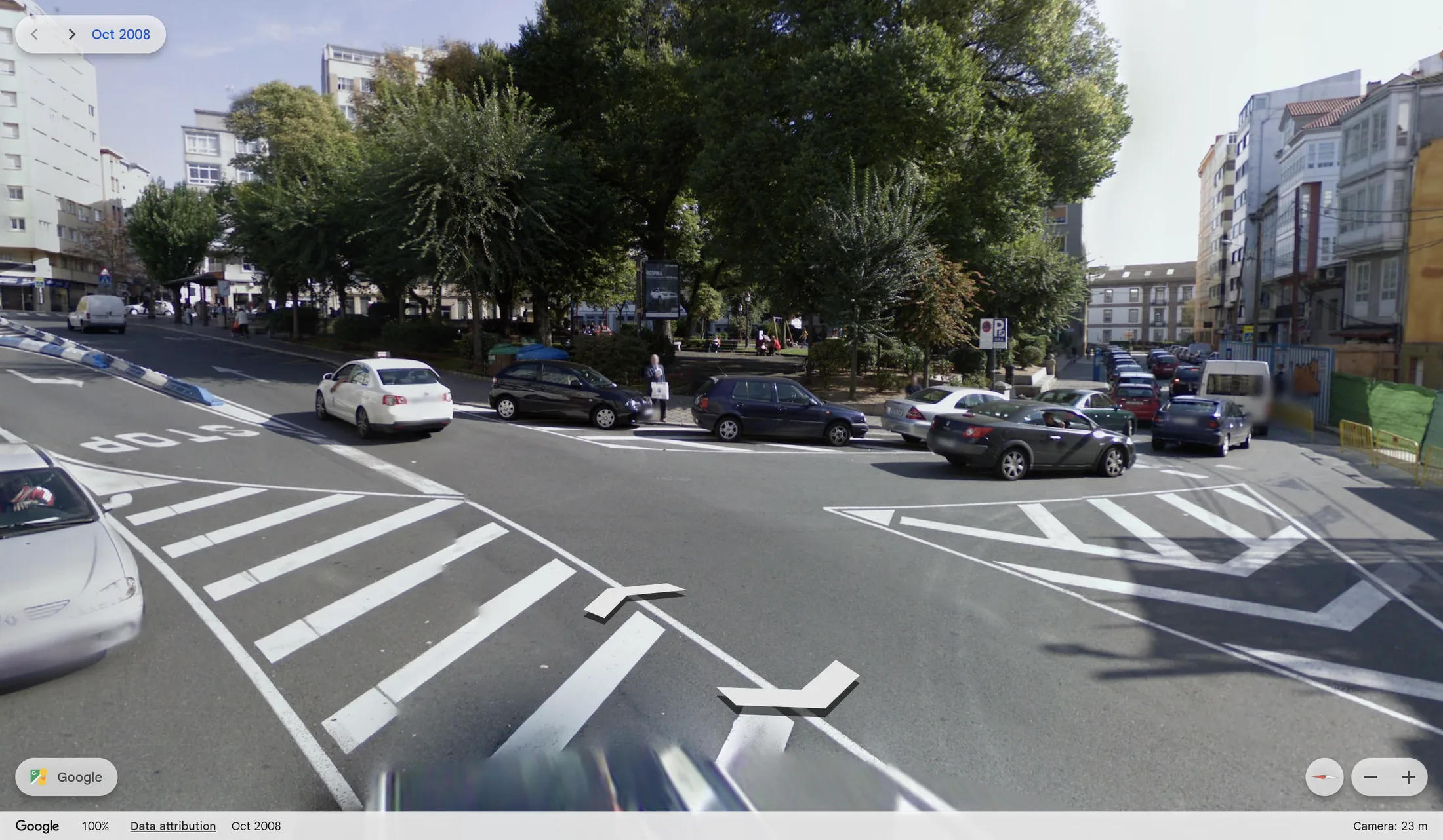
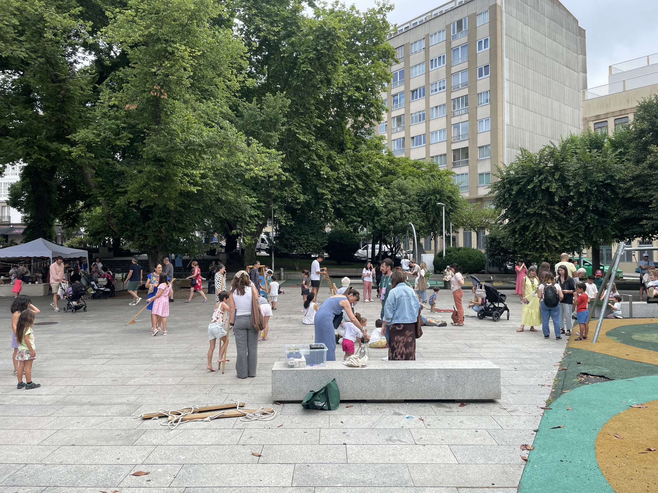
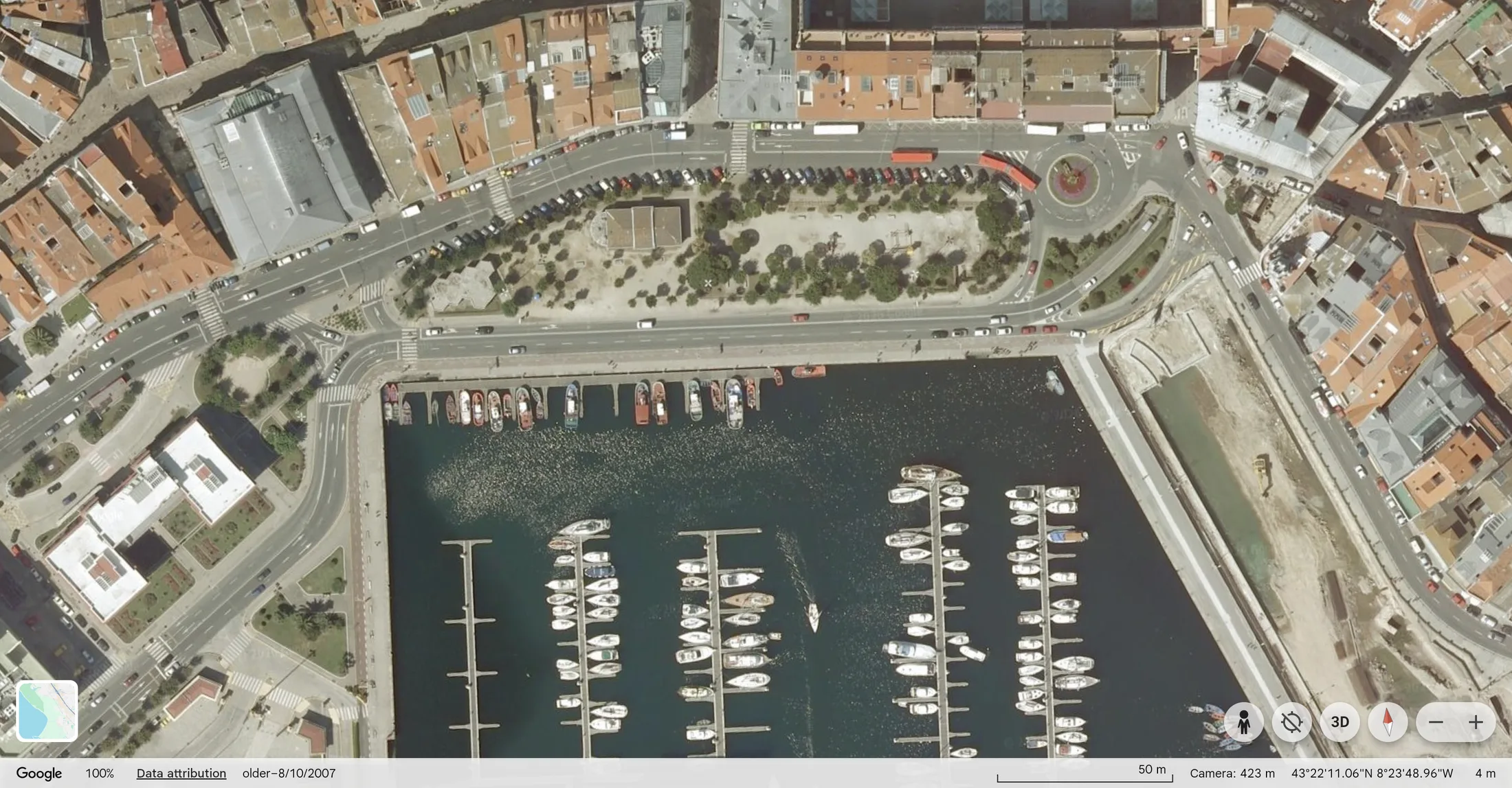
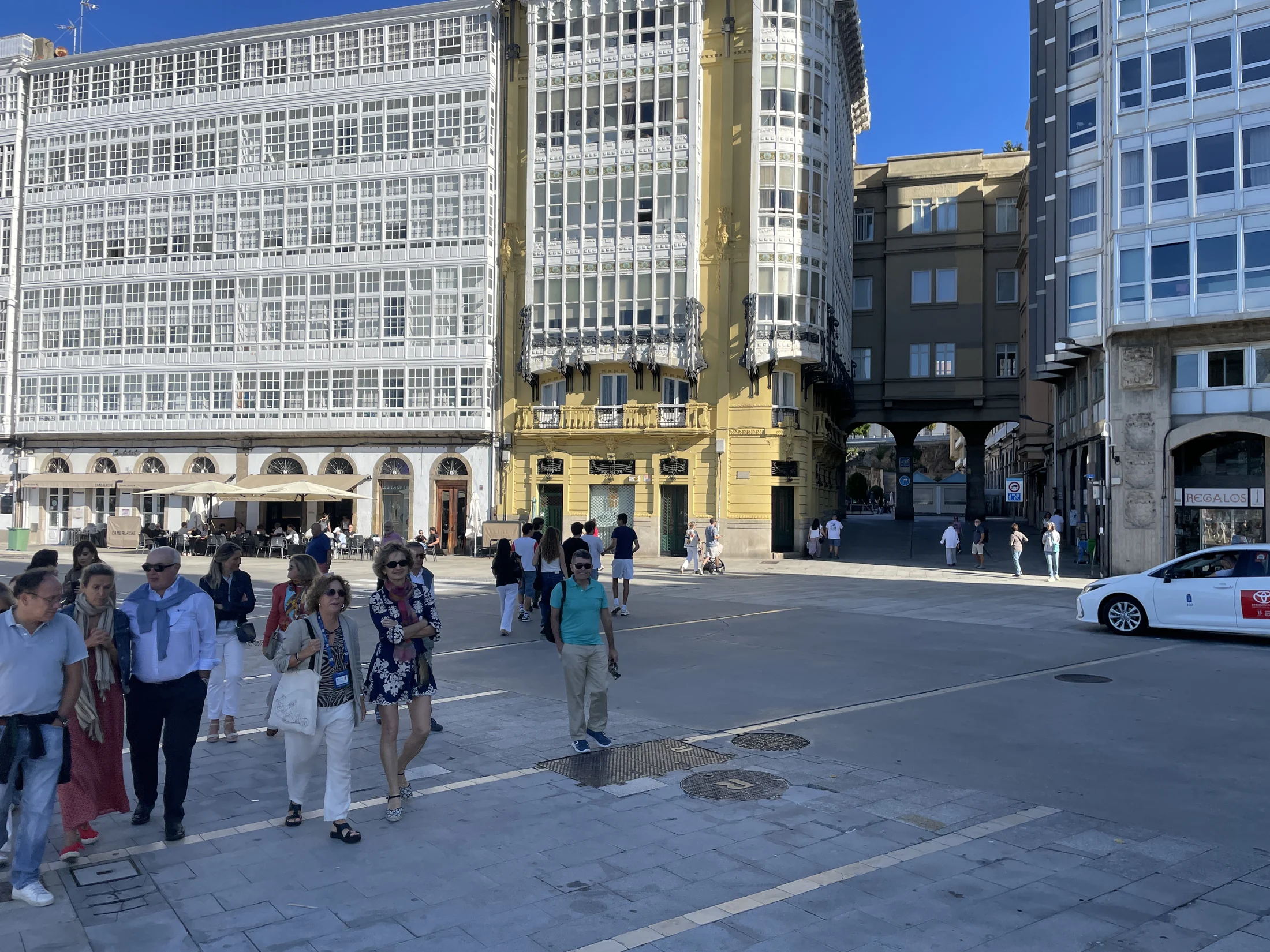
A Mariña / Porta Real
Aerial view, 2007–2024
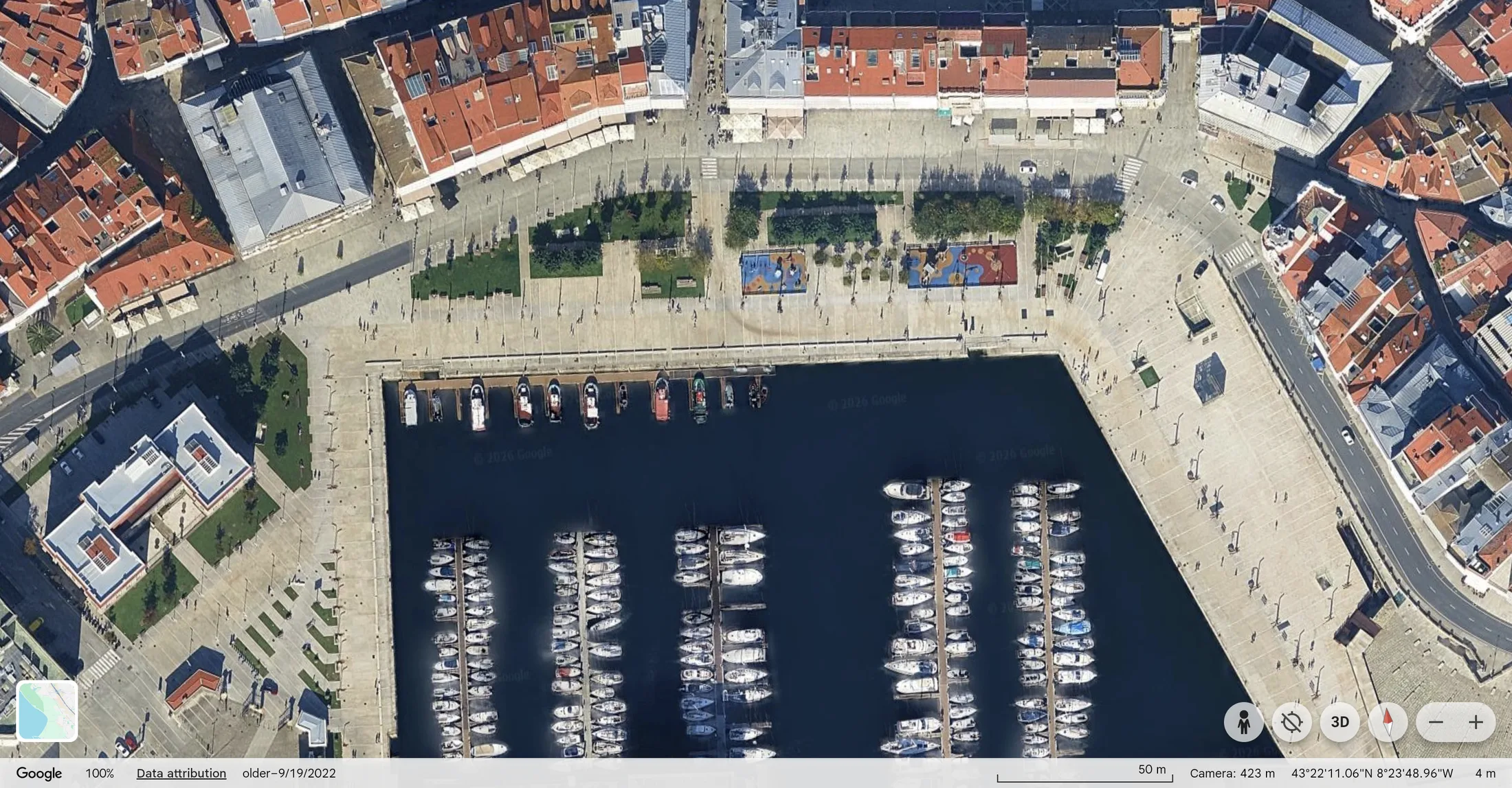
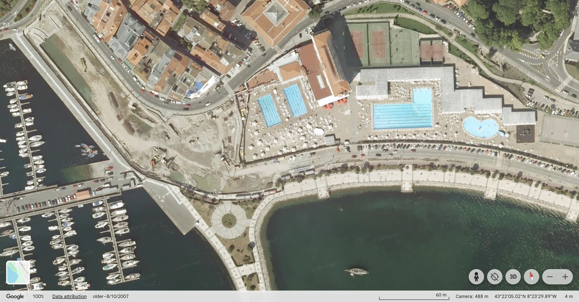
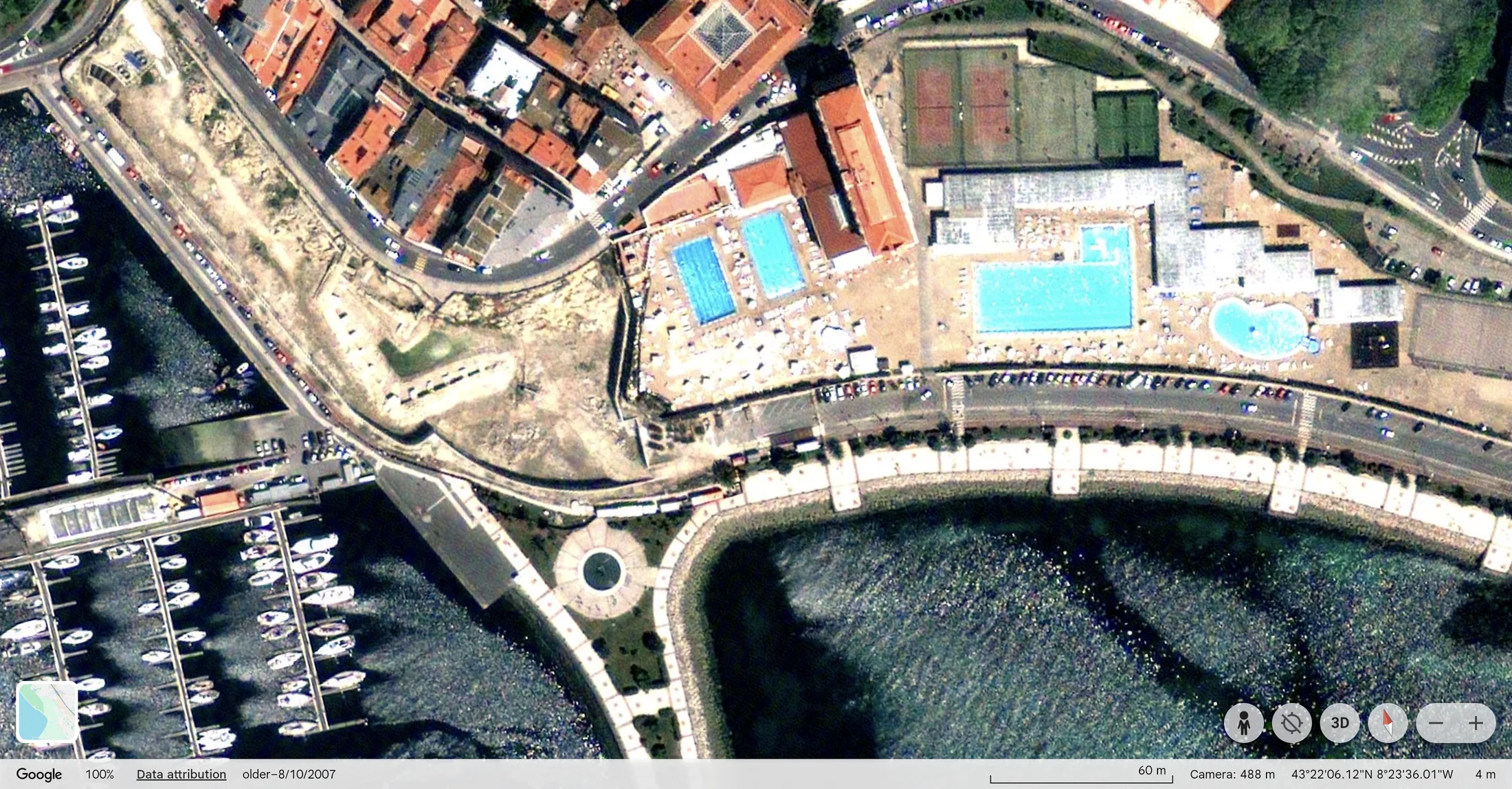
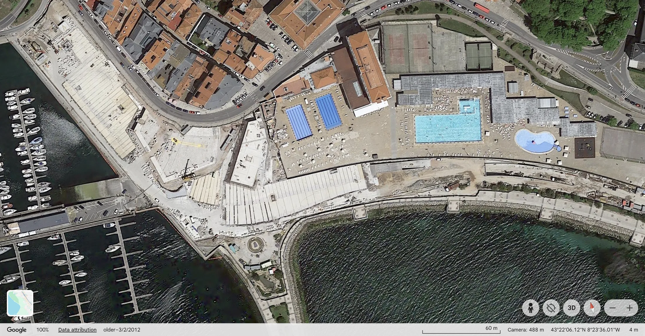
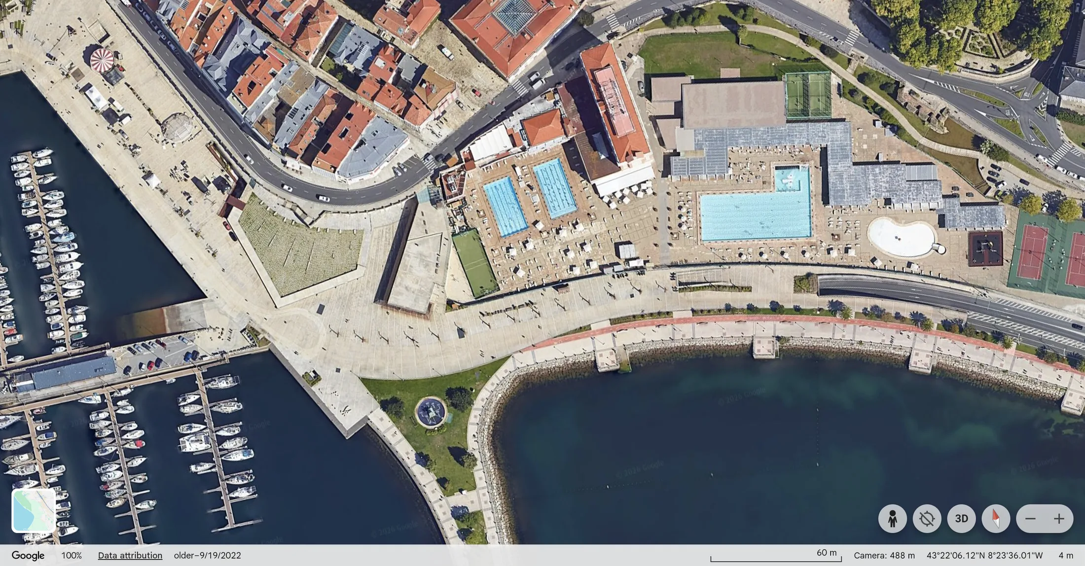
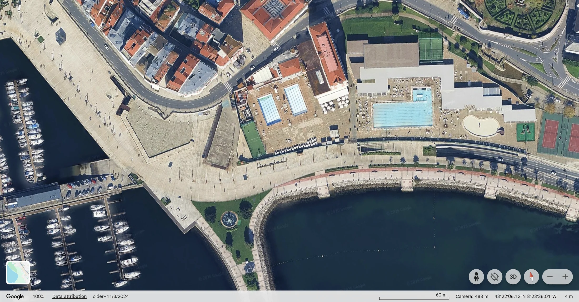
La Solana
Aerial view, five years
Obelisco / Xardíns de Méndez Núñez
Aerial view, 2019–2026
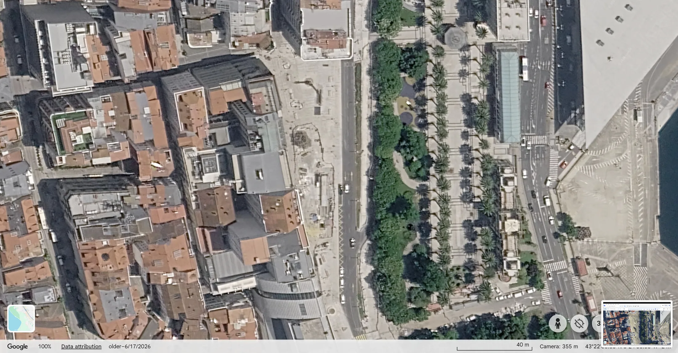
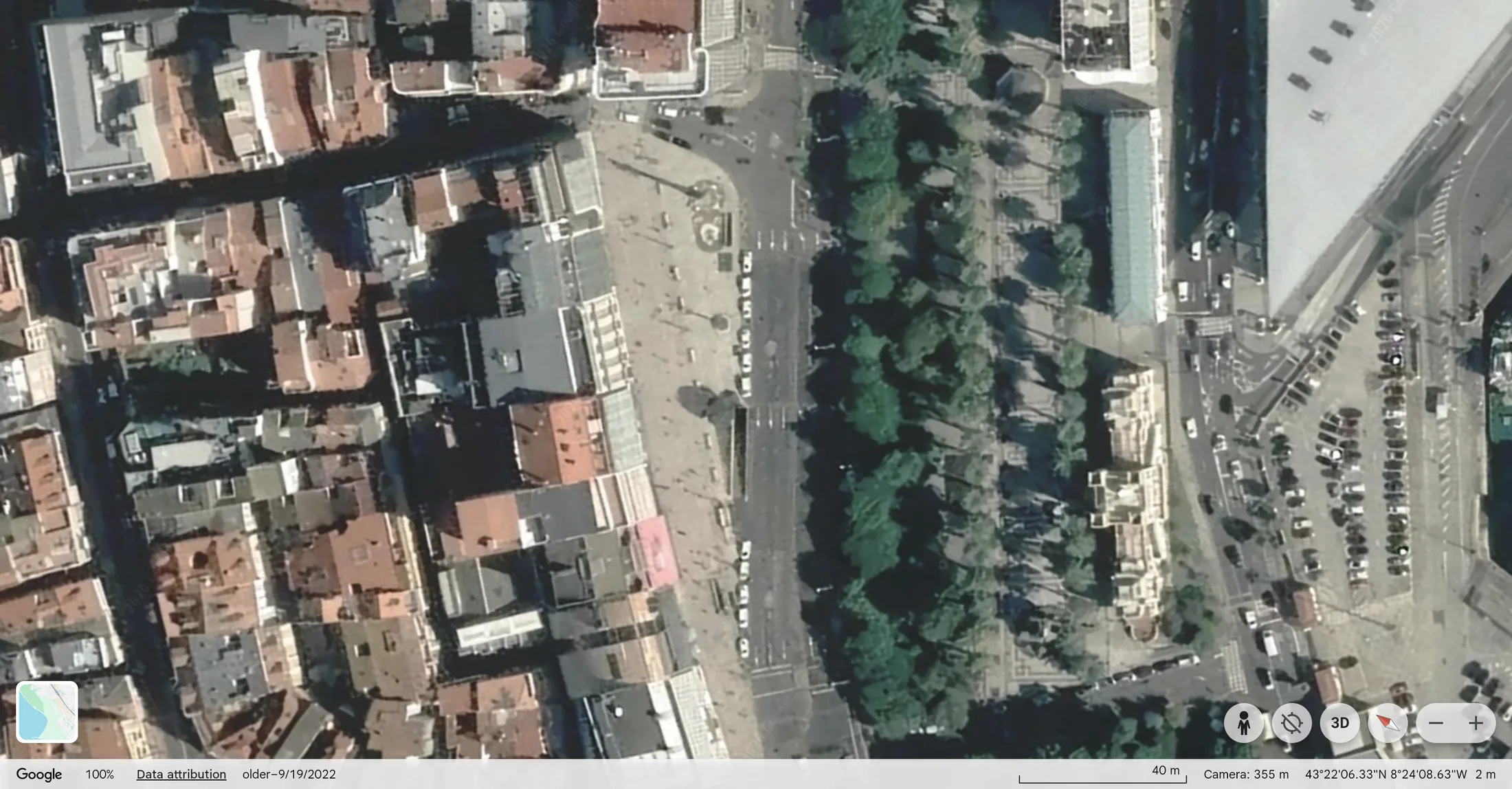
Aerial view, 2007–2022
2007
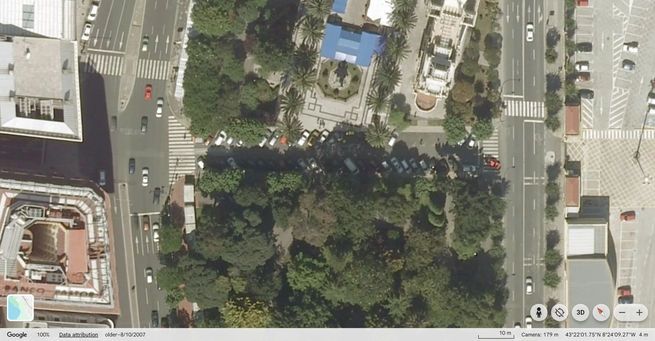
2022
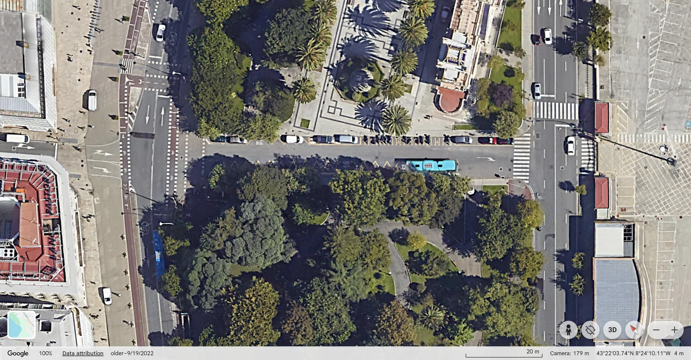
The row of parked cars along the garden's edge in 2007 is gone by 2022, replaced by a bus stop with its own reserved lane. The same stretch of road now moves far more people through a bus than it ever held in parked cars.
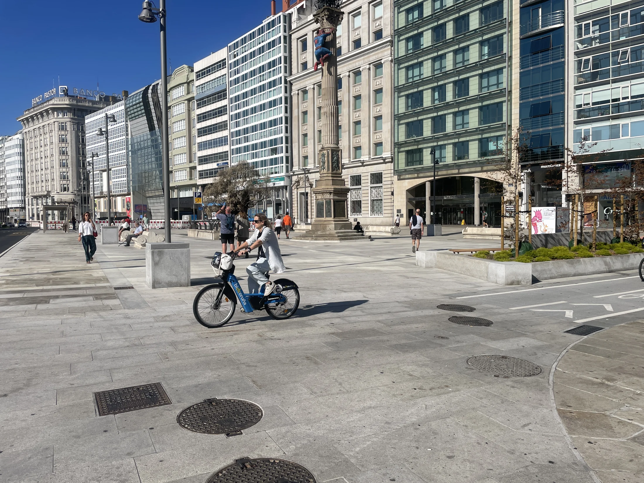
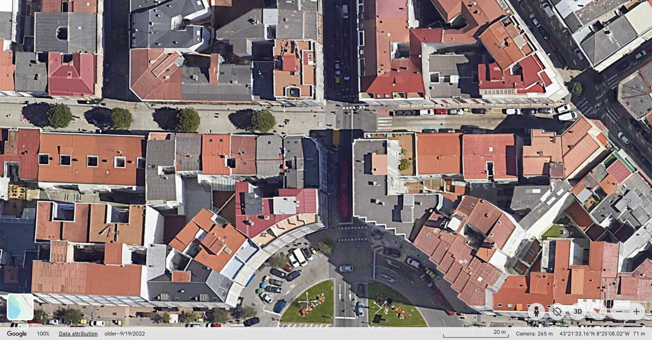
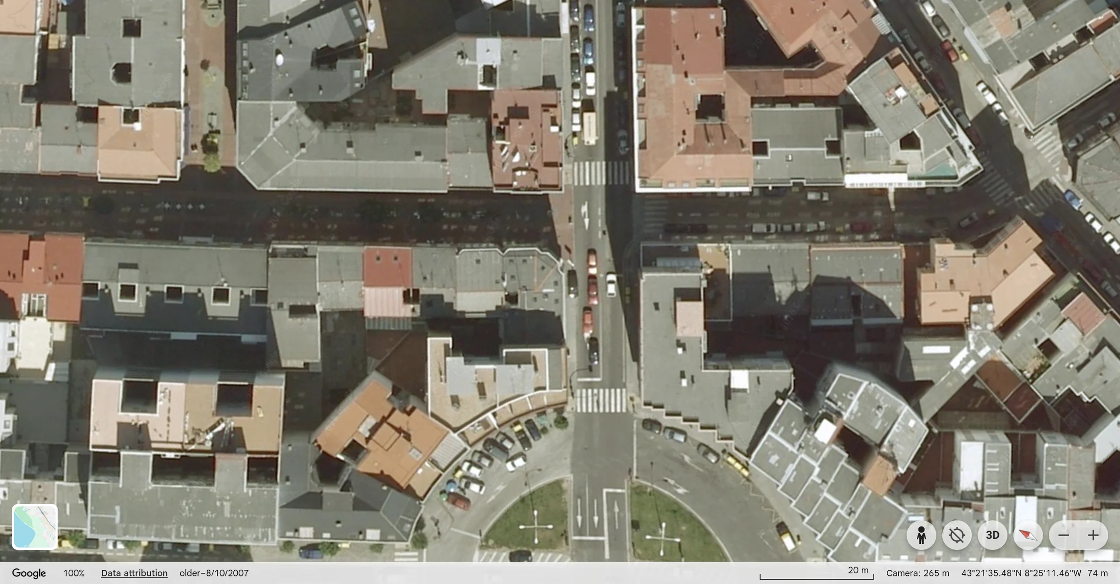
Ronda de Outeiro / Rúa Barcelona
Aerial view, 2007–2022
Fábrica de Tabacos / Catro Camiños
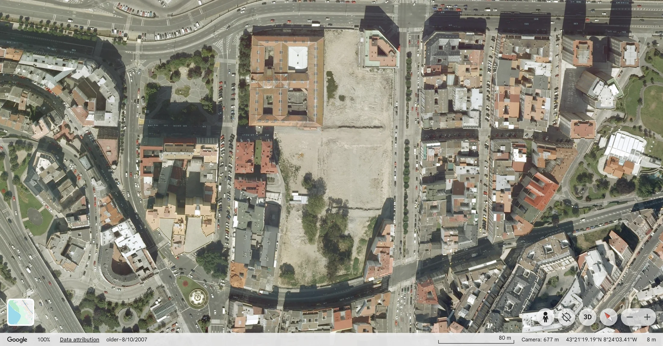
At the former tobacco factory, new streets and open spaces replaced the factory yard and its access roads.
Aerial view, 2007–2022
2007
2022
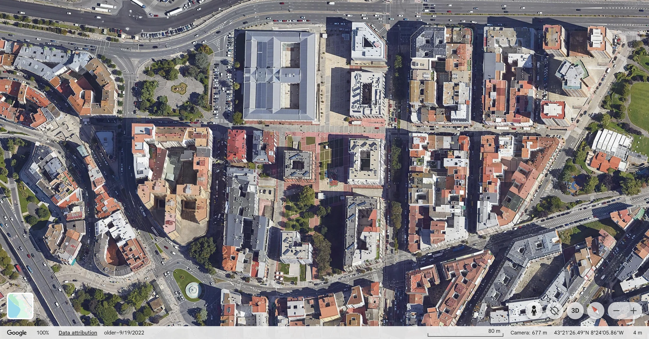
The former tobacco factory remains identifiable as new blocks and open spaces appear around it. Those blocks were designed as pedestrian space from the start, not adapted into it later.
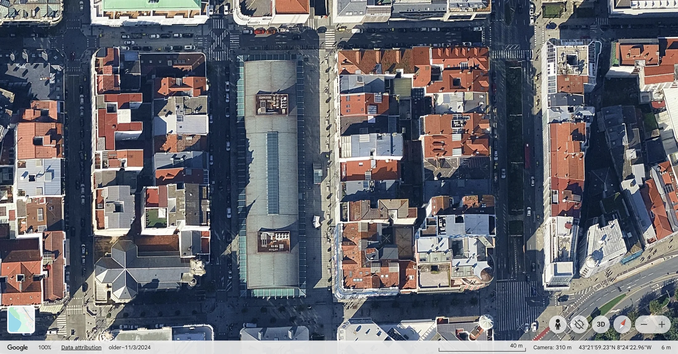
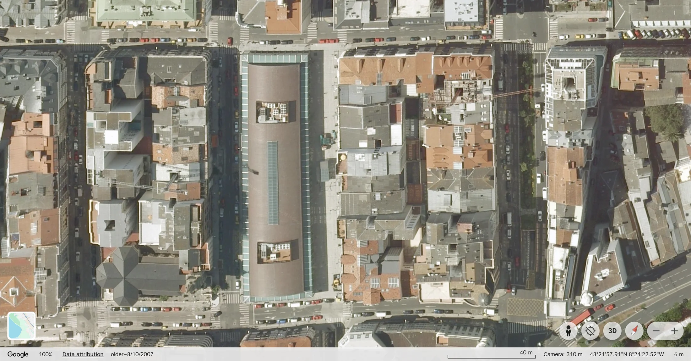
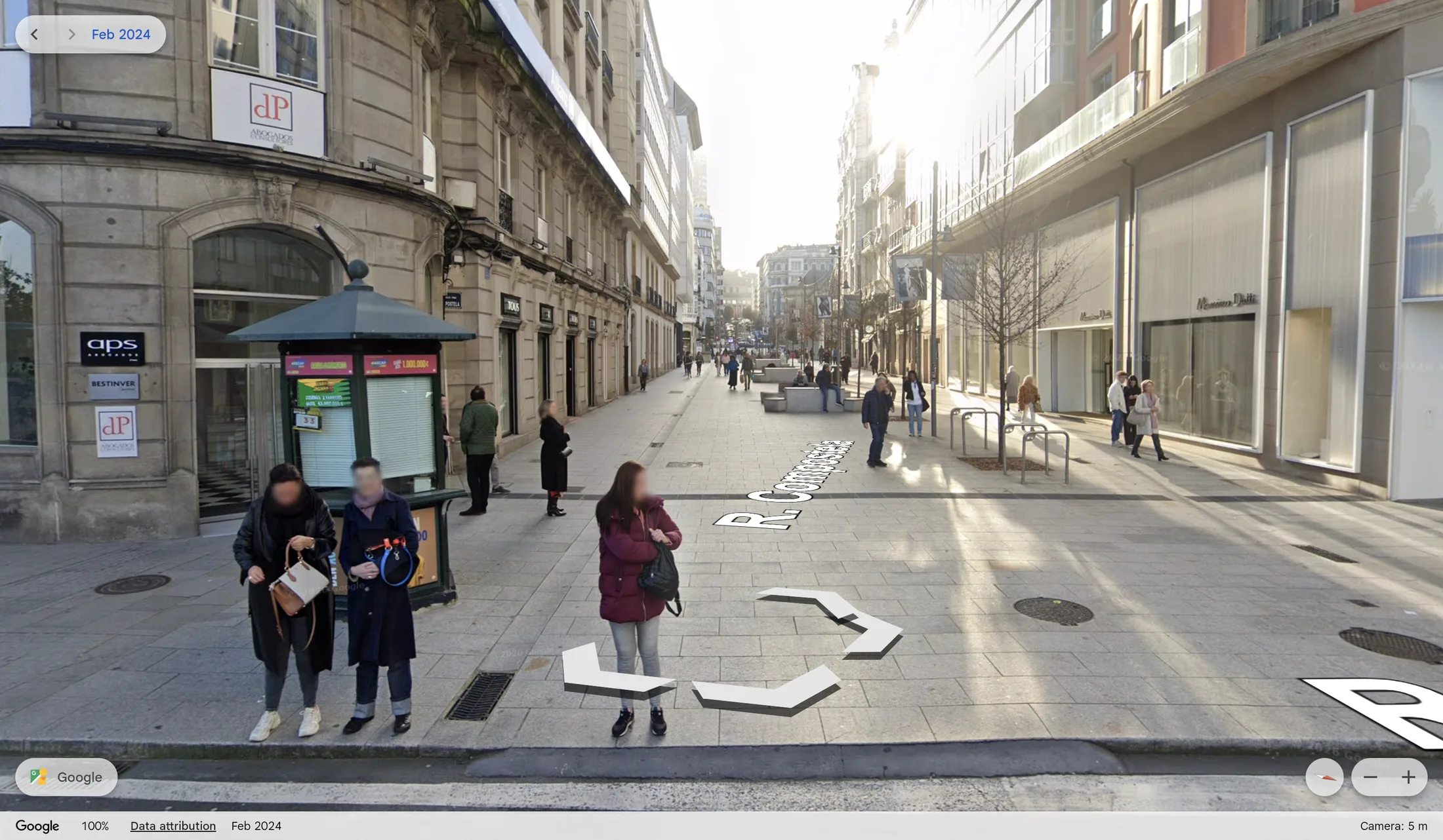
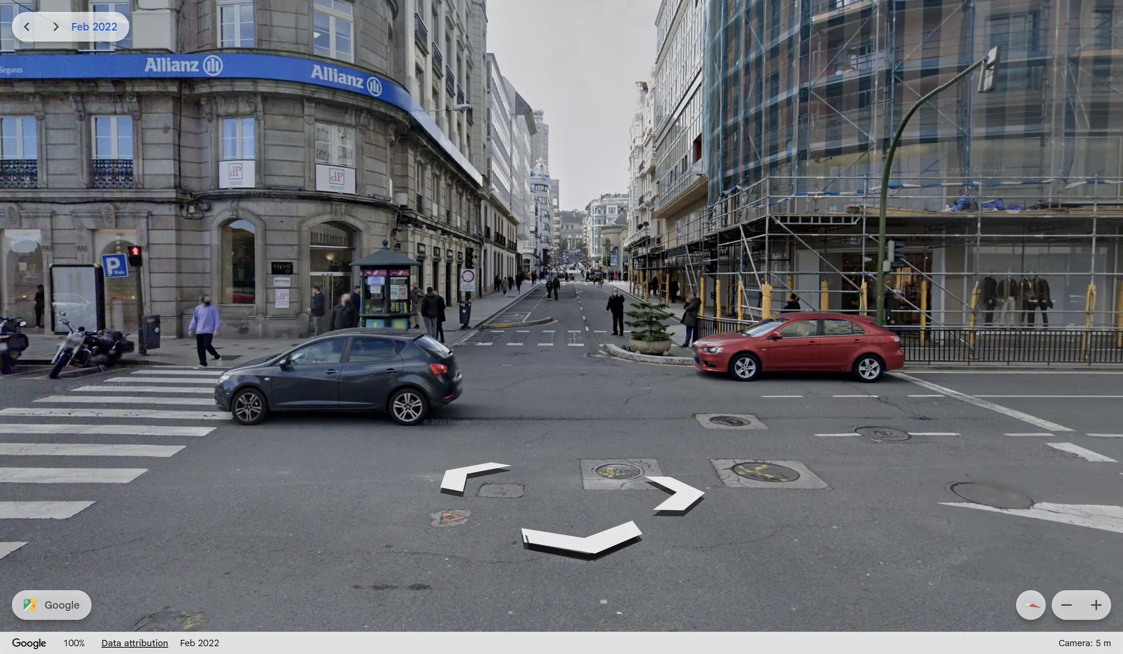
Praza de Lugo
Aerial view, 2007–2024
Street level, 2022–2024
Cidade Vella
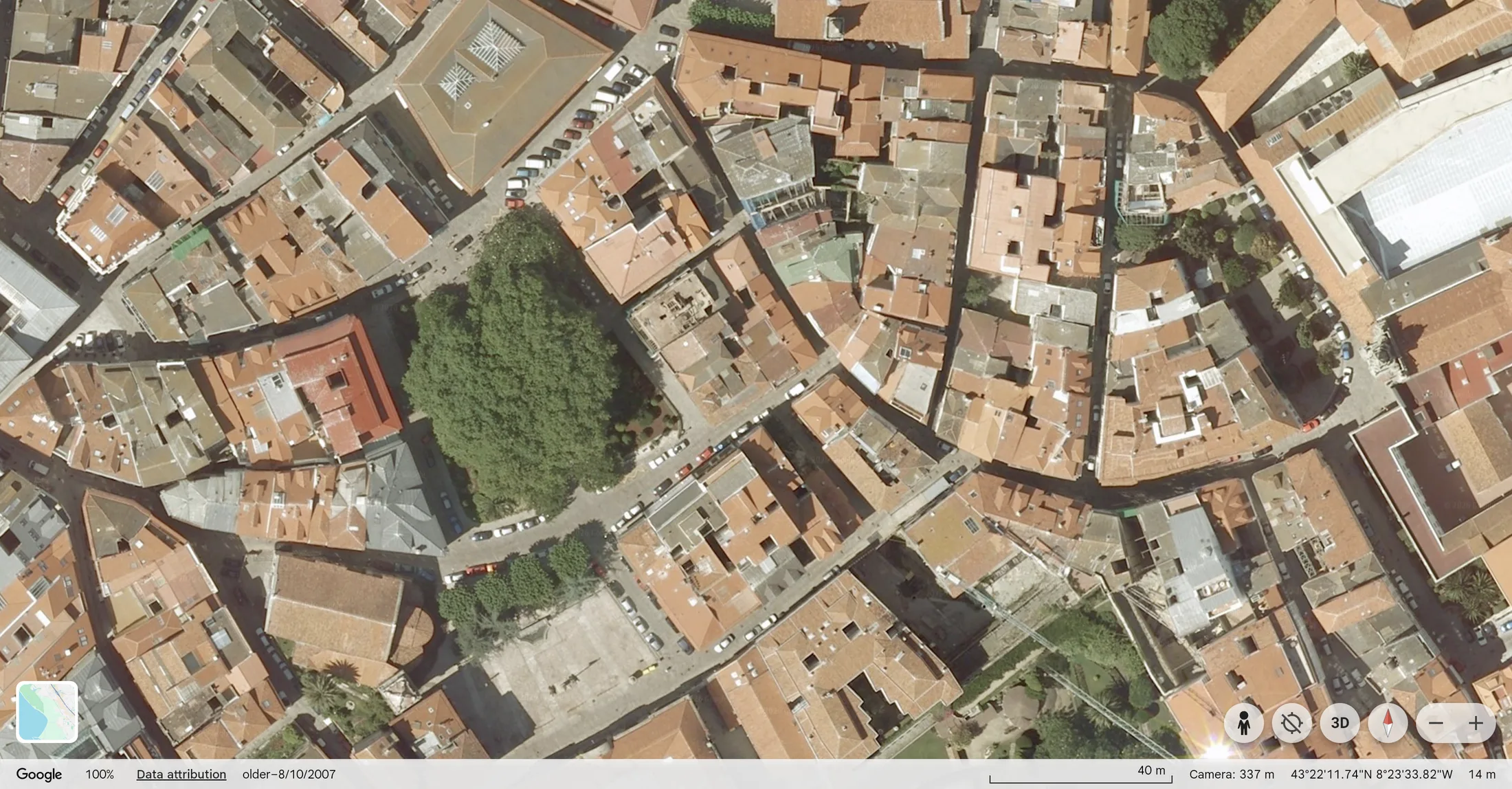
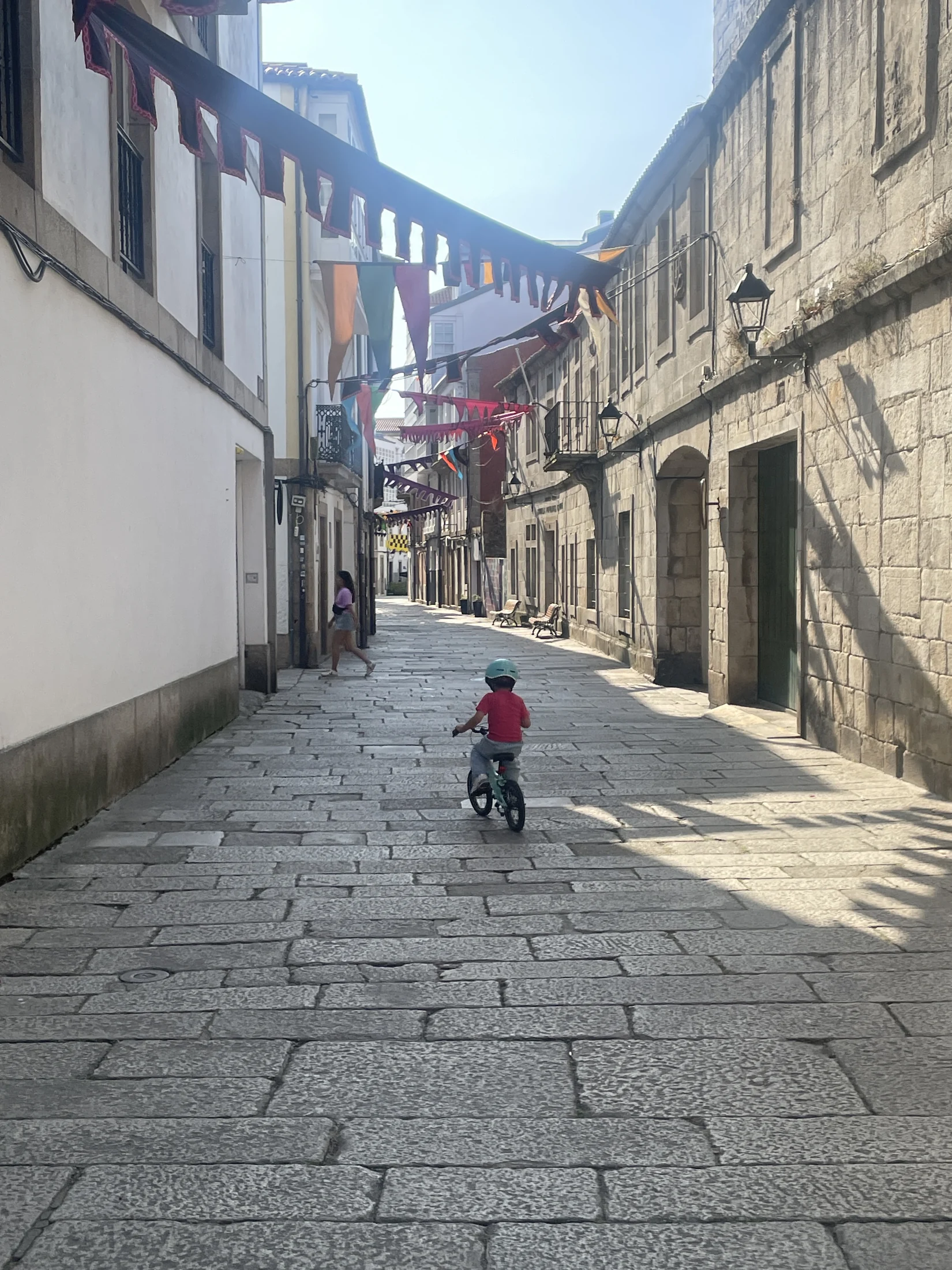
The narrow streets of Cidade Vella now carry much less through traffic than they once did. Walking there means less noise, less exhaust, and fewer conflicts with moving vehicles. That matters most to the people who can least absorb a driver’s mistake — children walking to school, older residents, anyone crossing without looking twice. I don’t expect these streets to reopen to cars.
Aerial view, 2007–2022
2007
2022
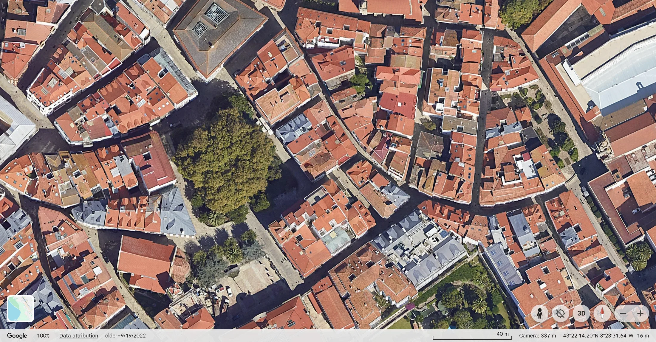
The rooftops and streets of the old town look much the same in 2007 and 2022. The large tree marks the same square in both years.
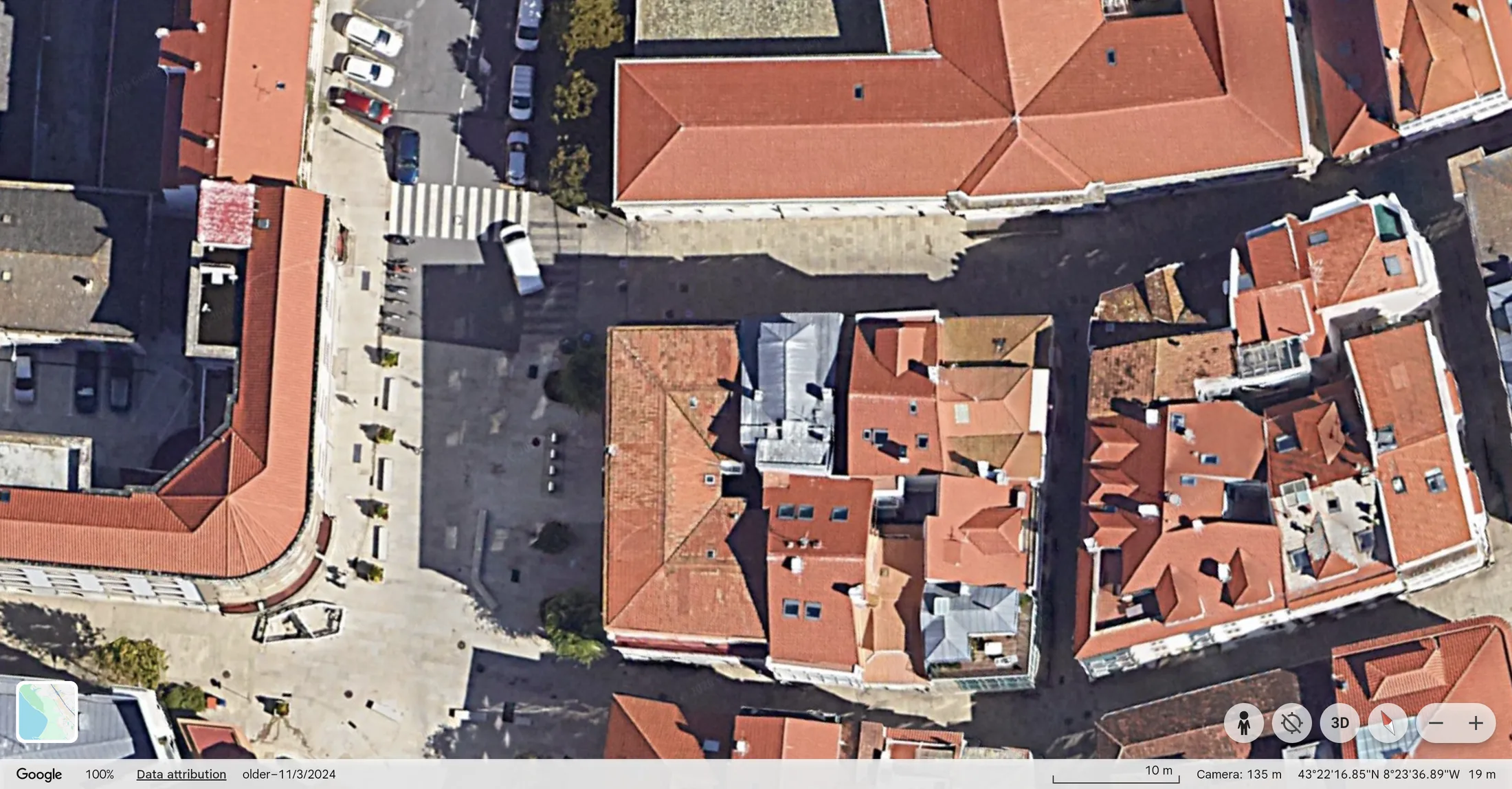
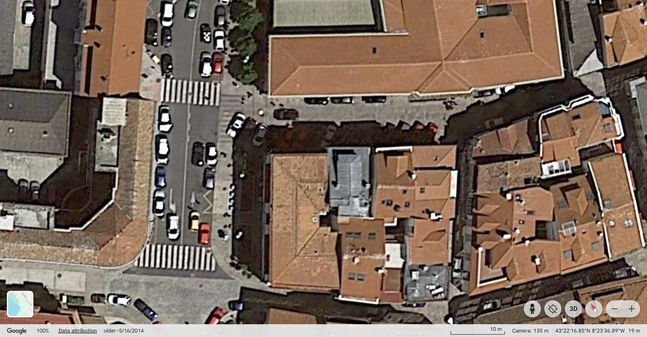
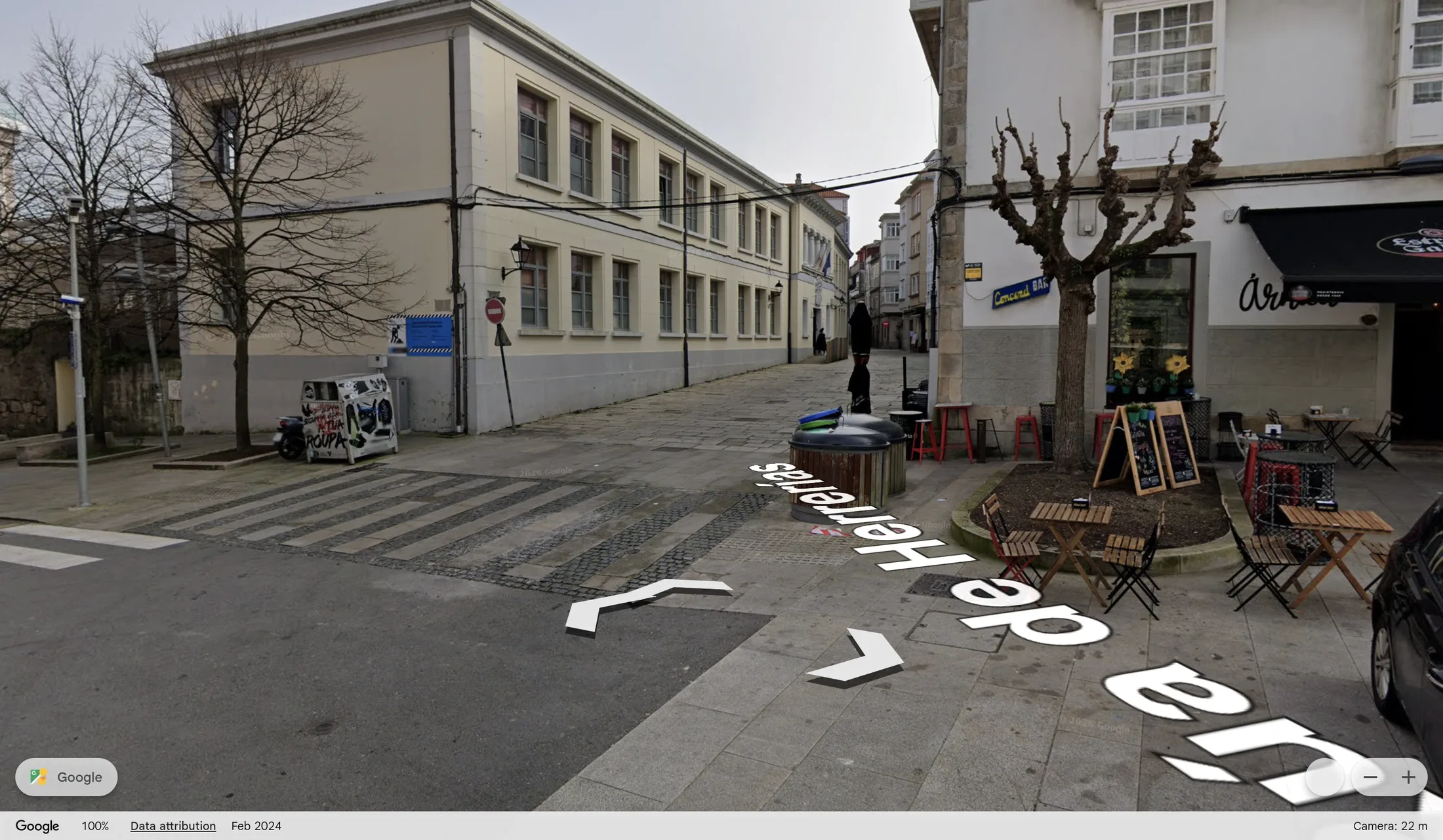
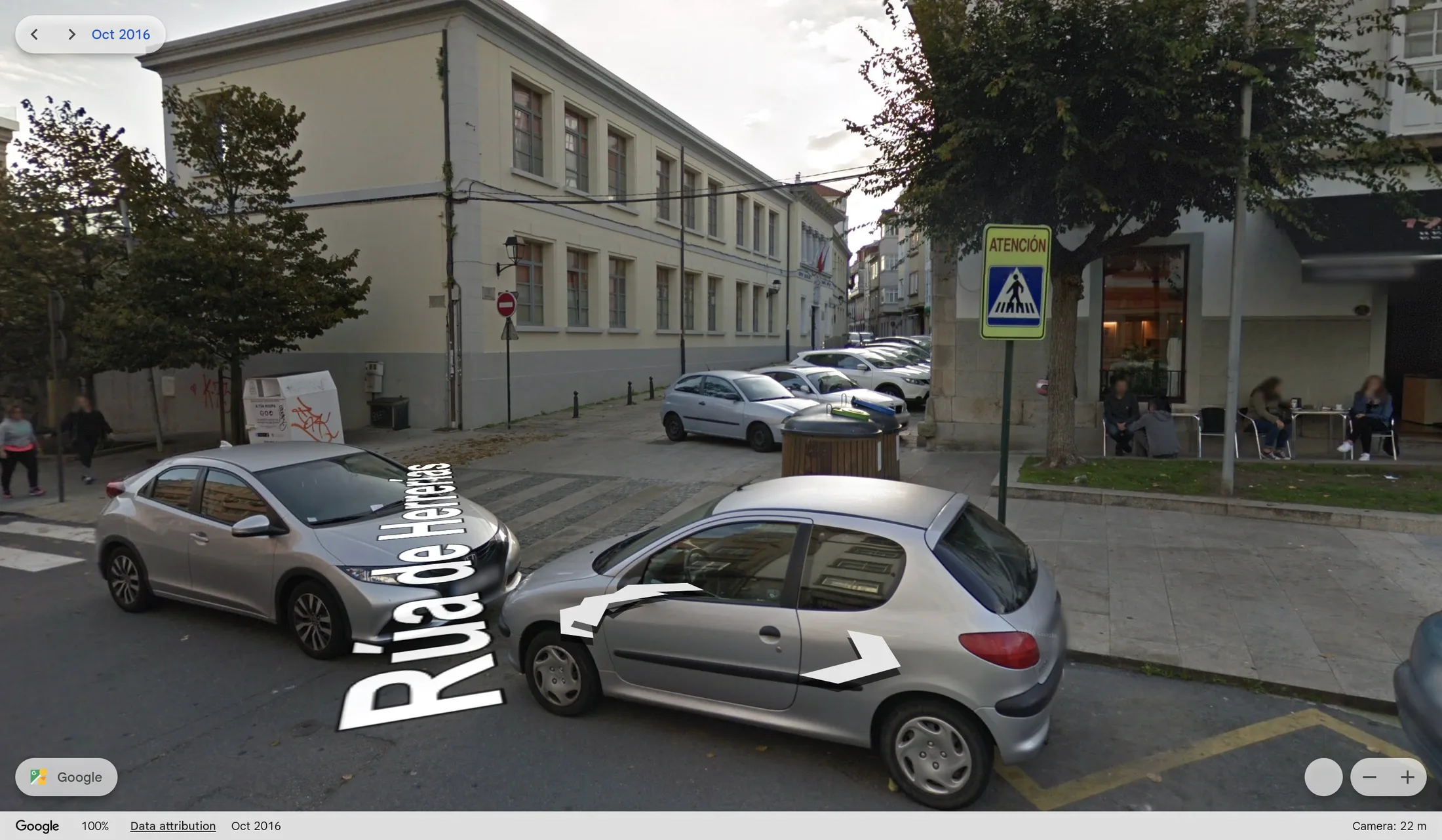
CEIP Cidade Vella
Aerial view, 2014–2022
Street level, 2016–2024
Official plans and method
The Concello’s reports explain the purpose and scope of these changes. The PMUS sets pedestrian mobility, accessibility and school routes as goals. The Cidade Vella plan and the city’s account of its first phase describe a phased change with access arrangements for residents, deliveries and services. These are records of policy and implementation, not independent evaluations of outcomes.
- A Coruña PMUS: plans and documents — full plan, including pedestrian mobility and monitoring sections.
- PMUS executive summary (Galician PDF) — goals for pedestrian routes, accessibility and school journeys.
- Cidade Vella pedestrianization and revitalization plan (PDF) — the area plan and implementation rationale.
- City report on the first phase in Cidade Vella — phasing, consultation and access arrangements.
- City report on accessibility works at Praza de Lugo and nearby streets — municipal account of the works and intended improvements.
This selection is not a comprehensive evaluation of A Coruña’s pedestrianization programme. Photo dates come from original capture metadata. Aerial dates identify the selected Google Earth timeline view, not completion of works; imagery can be older than the selected year. Street View dates are read from Google’s own viewer at the point of capture, checked against each screenshot individually; a small number of source files were mislabelled and have been renamed to match. Season, shadows and viewpoint also affect comparisons, and a paired Street View before-and-after is not always taken from the exact same panorama position; where the two views clearly diverge, they are shown side by side rather than as a drag slider. Photographs were resized; aerial and Street View screenshots had browser and app chrome removed while retaining the Google mark and visible attribution. No scene content was added or removed. Street View images are used here as screenshots with attribution, consistent with Google’s Geo guidelines.